Sectors and Industries
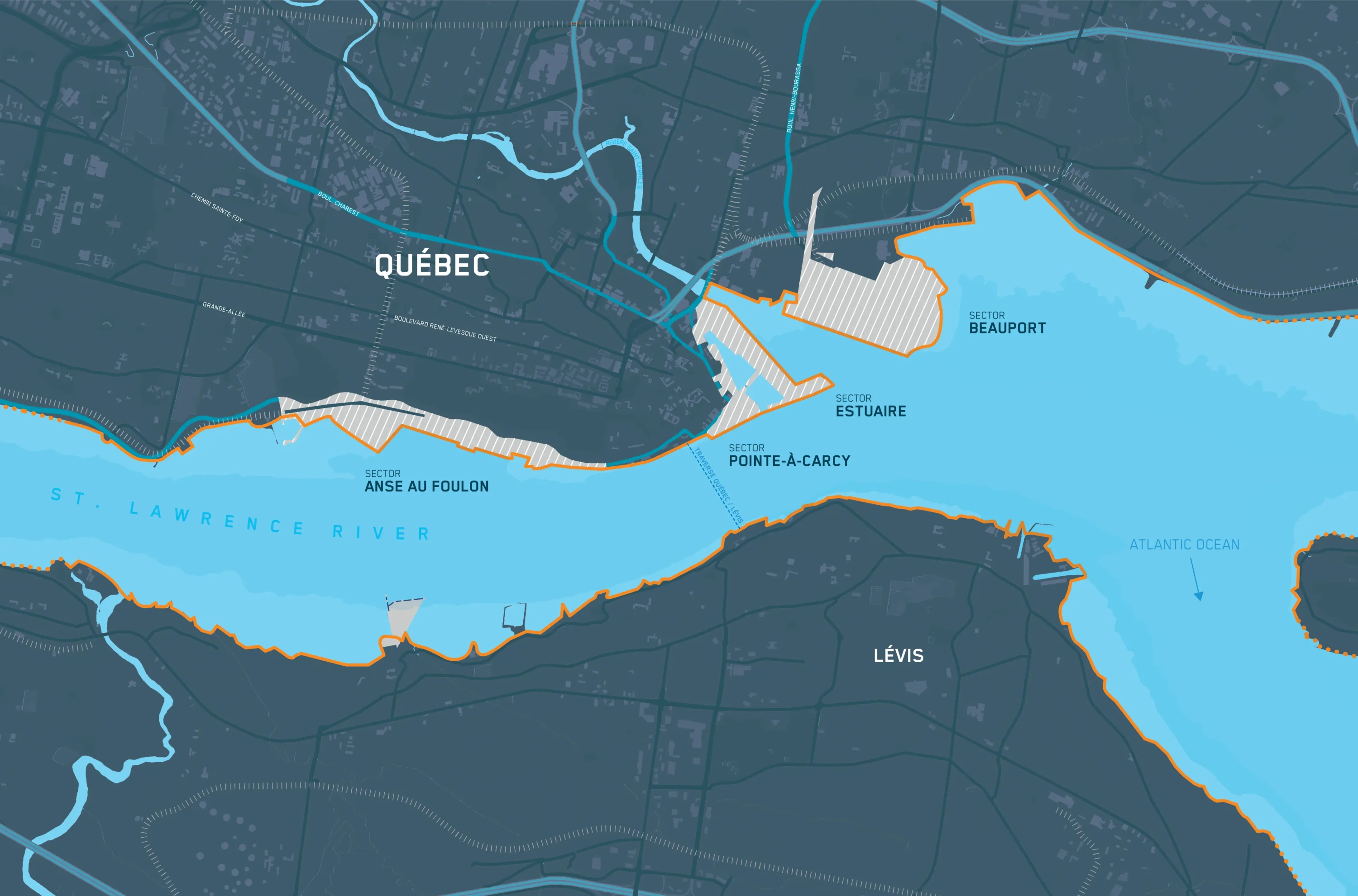
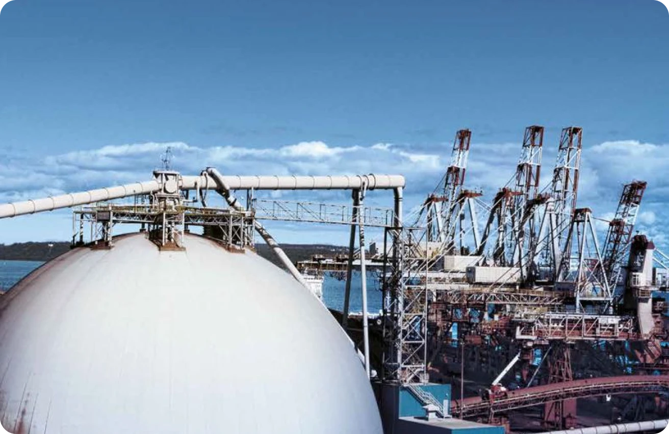
Beauport sector
90 hectares of developed land
Industries served:
- Steelmaking and recycling, transport and construction, mining and metals, energy and chemicals
Operators:
- QSL, IMTT Québec, Glencore, Parkland et Béton provincial
Other activities:
- Bike path, park and promenade, Baie de Beauport beach and water sports and activities
Berths
| Wharf | Length (in metres) | Depth at low tide (in metres) | Activities |
|---|---|---|---|
| 50 | 300 | 12 | Solid and liquid bulk |
| 51 | 235 | 12,5 | Solid and liquid bulk |
| 52 | 260 | 13,5 | Solid and liquid bulk |
| 53 | 325 | 15 | Solid and liquid bulk |
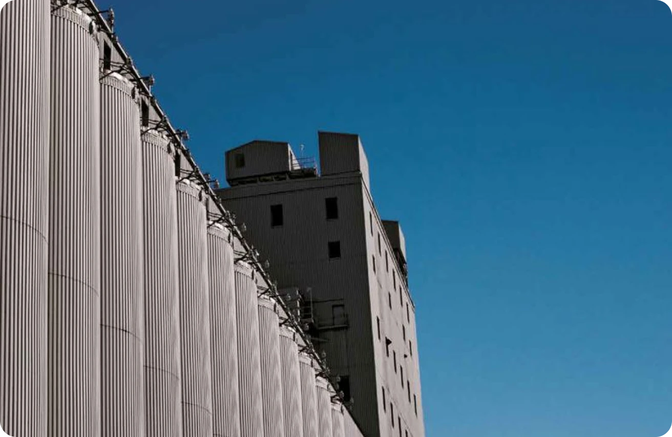
Estuary and Pointe-à-Carcy sectors
75 hectares of developed land
Industries served:
- Agri-food, construction and maritime services and ship repair
Operators:
- G3, Ocean Group et Béton Provincial
Other activities:
- Cruises, marina and water sports, Agora, port swimming, restaurants and meeting places, navette fluviale, river shuttle, Naval museum and promenade and bicycle path
Berths
| Wharf | Length | Depth at low tide (in metres) | Activities |
|---|---|---|---|
| 4 | 240 | 3,8/5,4 | Marina and cruises |
| 5 | 180 | 5,1/5,6 | Marina and cruises |
| 14 | 178 | 7 | Service wharf |
| 17 | 210 | 7,5 | Service wharf |
| 18 | 240,8 | 11 | Grain unloading |
| 20 | 342 | 7,5 | Minor repairs |
| 26 | 240,8 | 11 | General goods |
| 27 | 293,2 | 12 | General goods |
| 28 | 277,4 | 12 | Grain loading |
| 29 | 304,8 | 11,3 | General goods and grain unloading |
| 30 | 224 | 10 | Cruises |
| 31 | 224 | 9 | Service wharf |
Anse au Foulon sector
53 hectares of developed land
Industries served:
- Agri-food, construction and transport, biomass and mine supply
Operators:
- QSL and Sollio
Other activities:
- Park and promenade, boat ramp, Wwter sports and activities, marina, spa and bike paths
Berths
| Wharf | Length (in metres) | Depth at low tide (in metres) | Activities |
|---|---|---|---|
| 101 | 198.1 | 11.3 | General goods |
| 102 | 134.1 | 11.3 | General goods |
| 103 | 210.9 | 12 | General goods |
| 104 | 210.9 | 10.3 | Solid bulk and general goods |
| 105 | 195.4 | 11.3 | Solid bulk and general goods |
| 106 | 195.4 | 11.3 | Solid bulk |
| 107 | 173.1 | 11.3 | Solid bulk |
| 108 | 180.1 | 11.3 | Solid bulk and general goods |
Other maritime activities
The Port of Québec manages a number of major maritime and port facilities on the waterfront.
North Shore
- White Birch Paper (wharves 46 and 47)
- Quai Chouinard (wharf 91)
- Québec City-Lévis ferry (wharf 92)
- Canadian Coast Guard (wharves 93 to 98)
South Shore
- Davie Shipyard (wharves 70 to 79)
- Quai Paquet (wharf 81)
- Jean Gaulin Refinery (wharves 86 and 87)
Lease – Commercial space
The Port of Québec has indoor and outdoor commercial storage space available for lease to clients and operators. Please contact our team if you have inquiries about available space and leasing terms.